Log in
All resources
Create a design
38,664 Free Images of 1888 Maps
maps made in the 17th century
atlantis magni tomus tertius (biblioteca comunale di trento)
maps made in the 18th century
atlas van der hagen
maps with cartouches
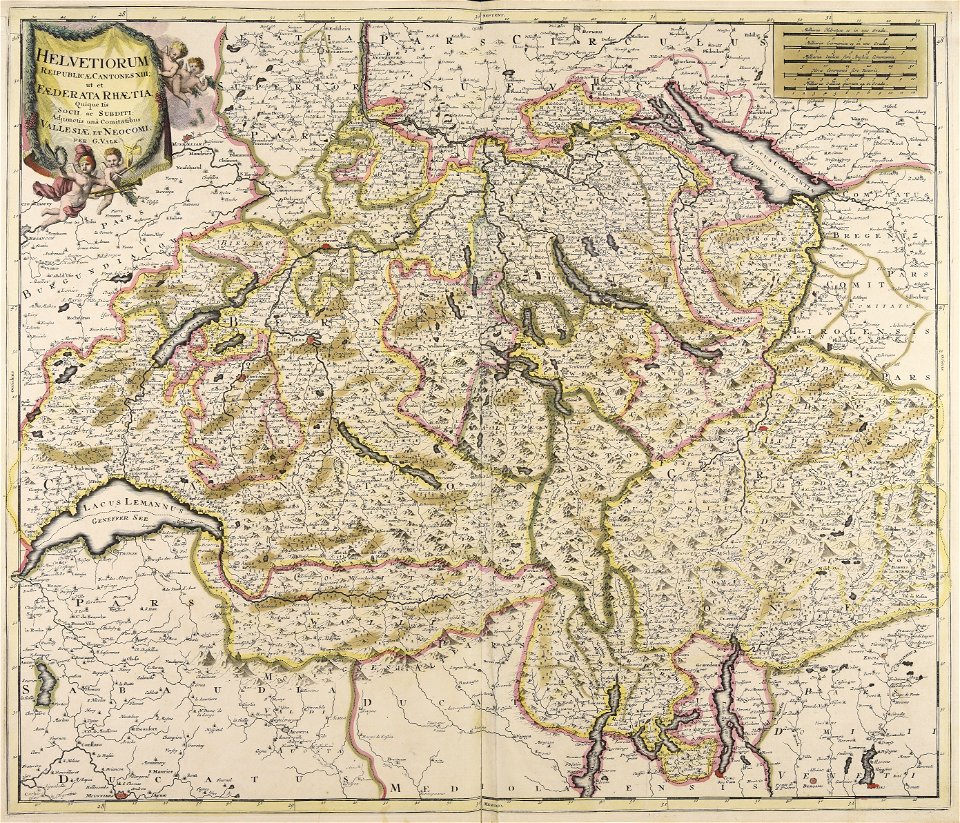
gerard valck
atlantis magni tomus quintus (biblioteca comunale di trento)
atlas van der hagen (volume 3)
description of kingdom of georgia
its habits and canons
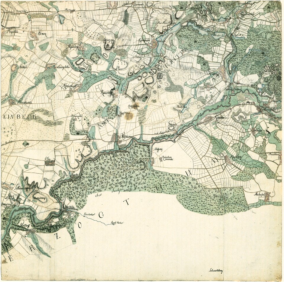
history of mansfeld land
gerard valck
collections de la bibliothèque nationale et universitaire de strasbourg
maps of strasbourg in the 18th century
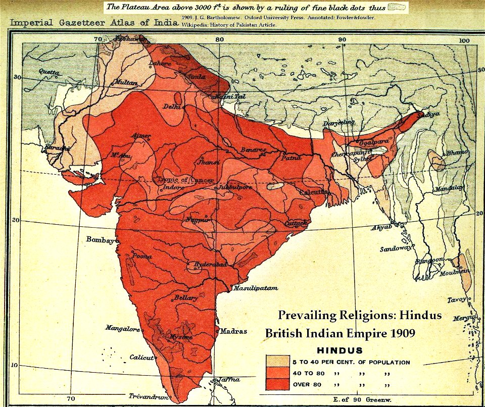
old maps of the indian subcontinent
hindus
drawings by john robert cozens in the yale center for british art
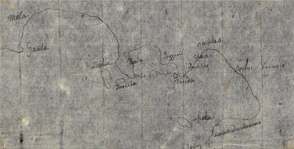
old maps of lazio
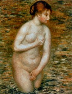
portrait paintings of women
facing left
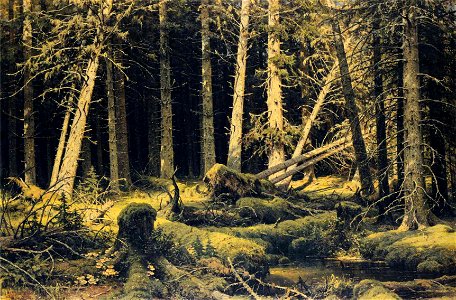
paintings of forests by ivan shishkin
pinales damaged by windthrow
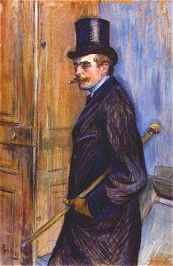
smoking men in art
tobacco in art
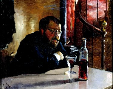
christensen's list of oil paintings by laurits andersen ring
paintings of country roads
19th-century oil on panel paintings in norway
portraits of hans jæger
women facing right in art
bun hairstyle in art
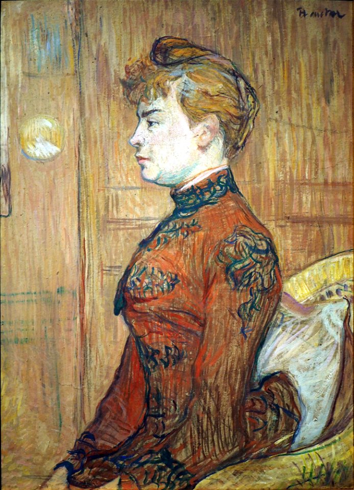
works between 1888 and 1892 by henri de toulouse-lautrec
sitting people
maps in the library of congress
bird's eye view maps of alabama
maps by willem and johannes blaeu
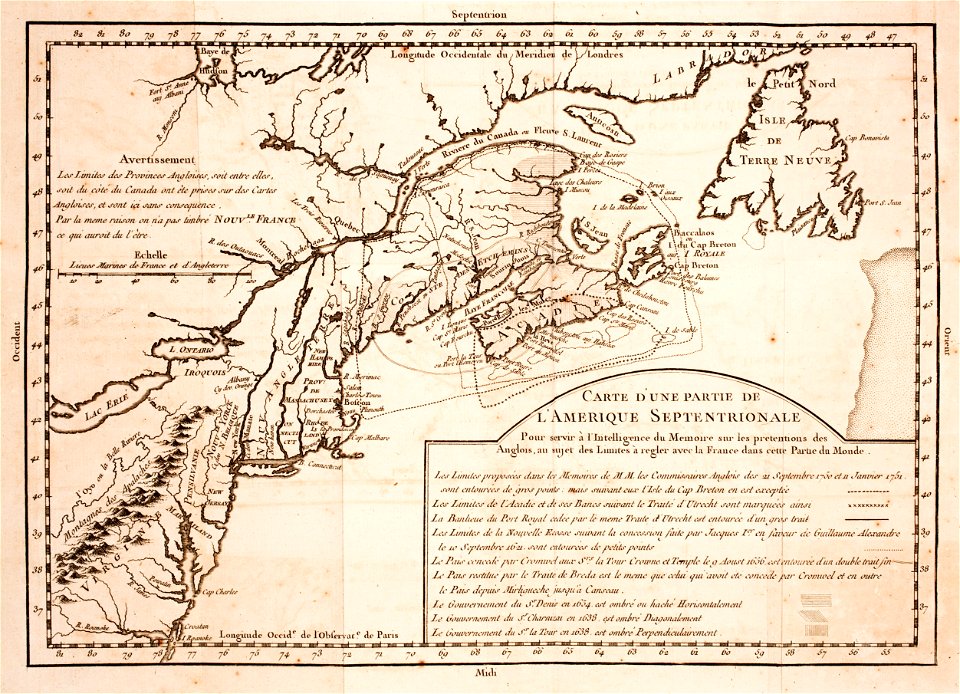
hudson valley
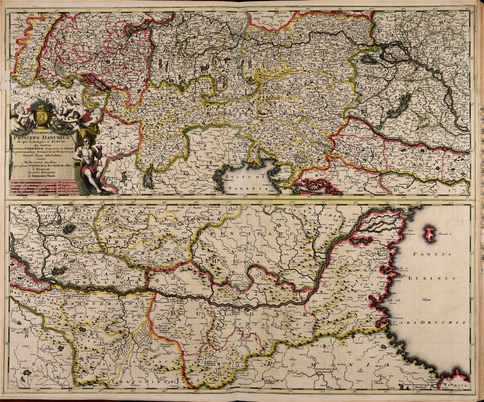
carte de france by guillaume delisle (1721)
philippe buache
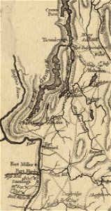
fort ticonderoga
john burgoyne
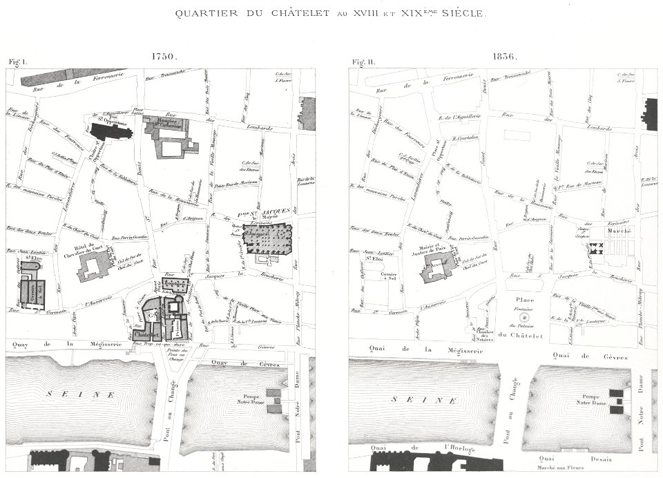
lithographs of paris
grand châtelet
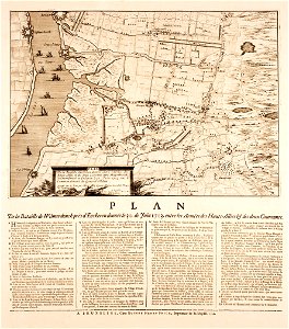
prints from mémoires des commissaires du roi et de ceux de sa majesté britannique at the peace palace library
jean ignace de la ville
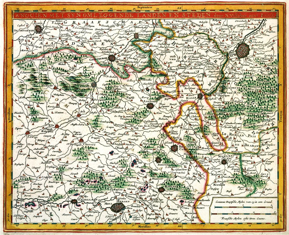
merksem
lillo
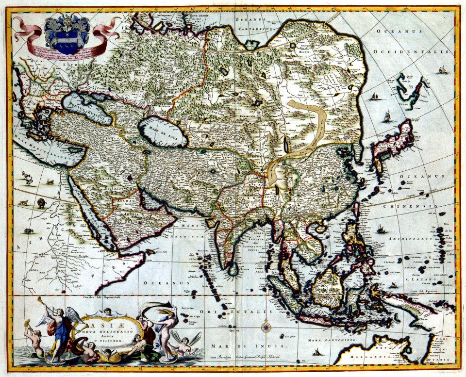
maps made in the 17th century
gerard valck
1888 oil on canvas paintings
1888 paintings from italy
dutch 18th-century prints in the rijksmuseum amsterdam
hendrik de leth
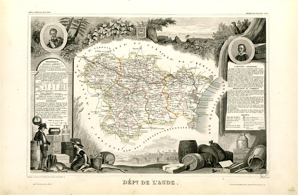
coats of arms of cities in aude
coats of arms of aude
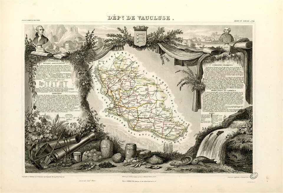
coats of arms of cities in vaucluse
works after joseph vernet
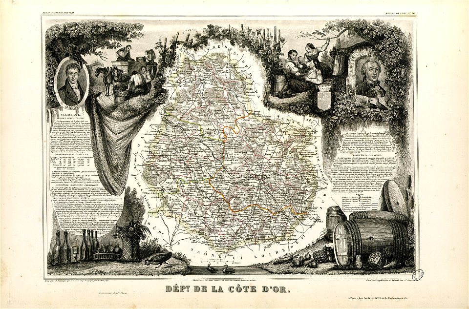
old maps of côte-d'or
lazare carnot
1867 engravings
new york city
lithographs of paris
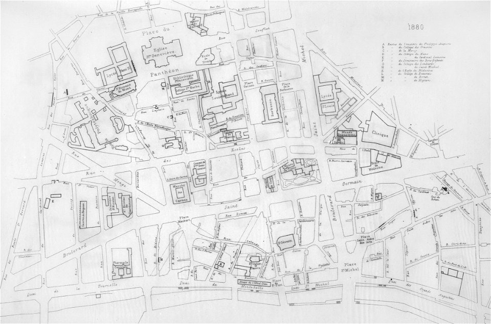
université de paris
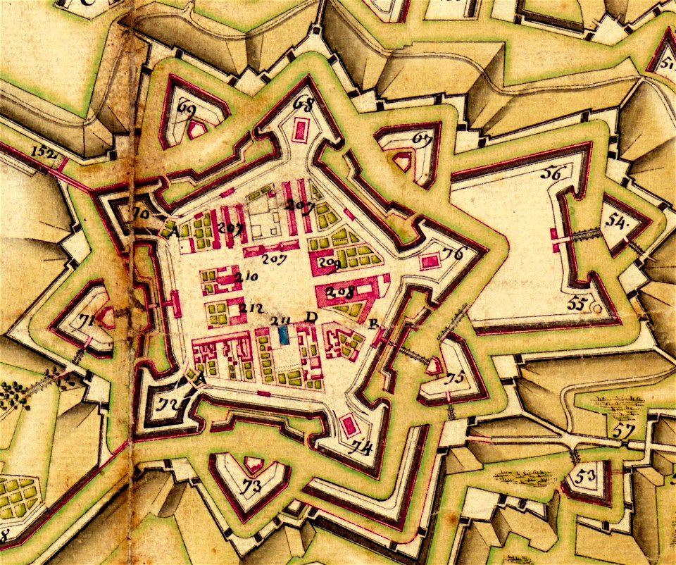
circumvallatielinie (groenlo)
coats of arms on maps
victorian architecture
gas balloons
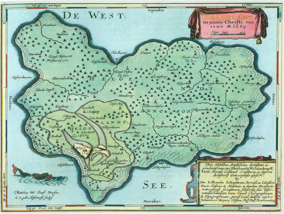
helgeladt in annis christi 800
1300 & 1649
maps made in the 18th century
gerard valck
maps made in the 18th century
gerard valck
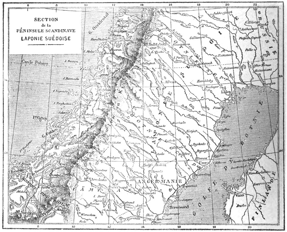
19th-century maps of sweden
sweden in the 1850s
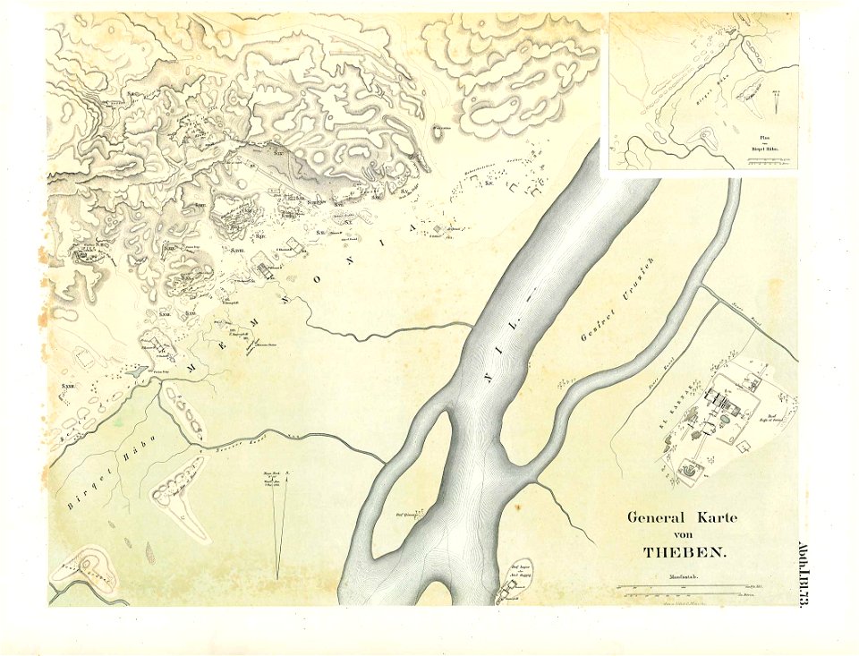
karnak temple complex
thebes
maps made in the 17th century
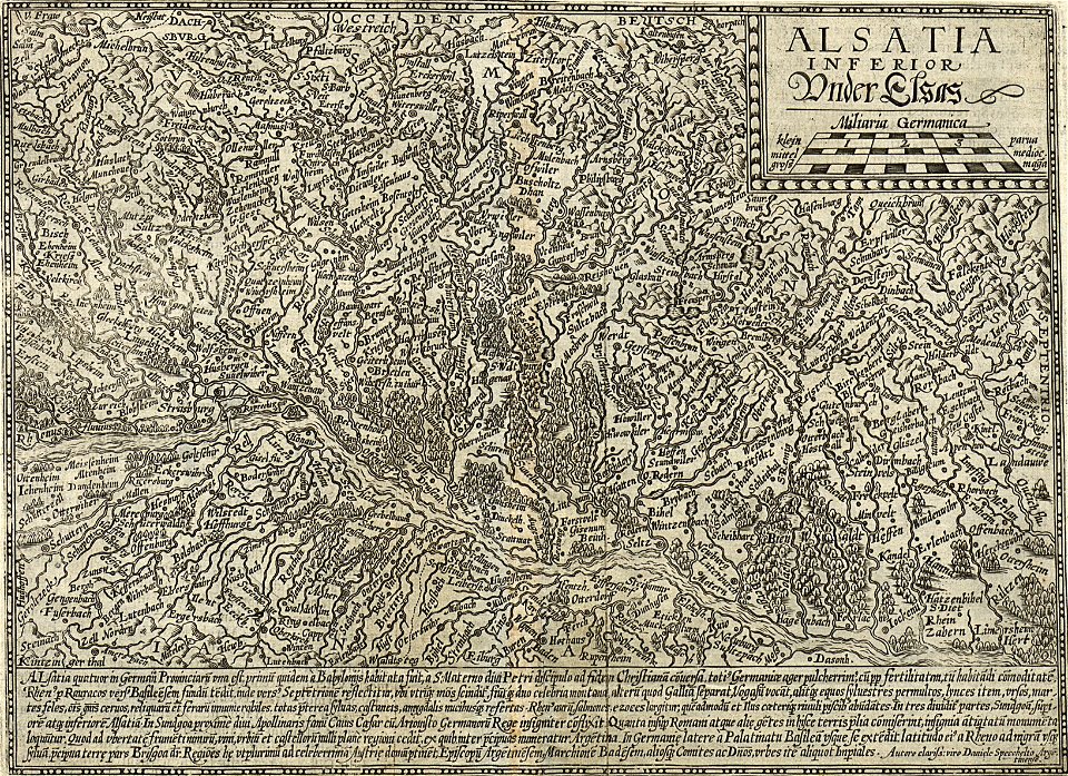
old maps of alsace
maps made in the 17th century
jan janssonius
braunschweig in the 1880s
old maps of braunschweig
grand
bill
cornell university library
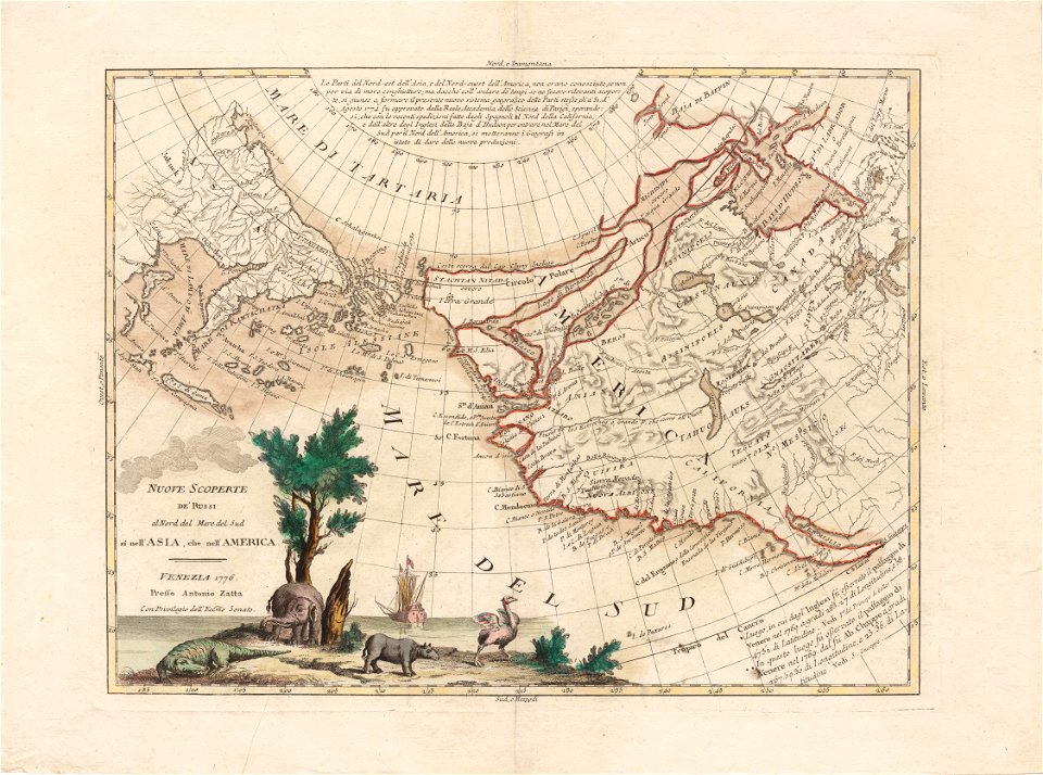
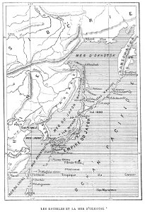
north pacific
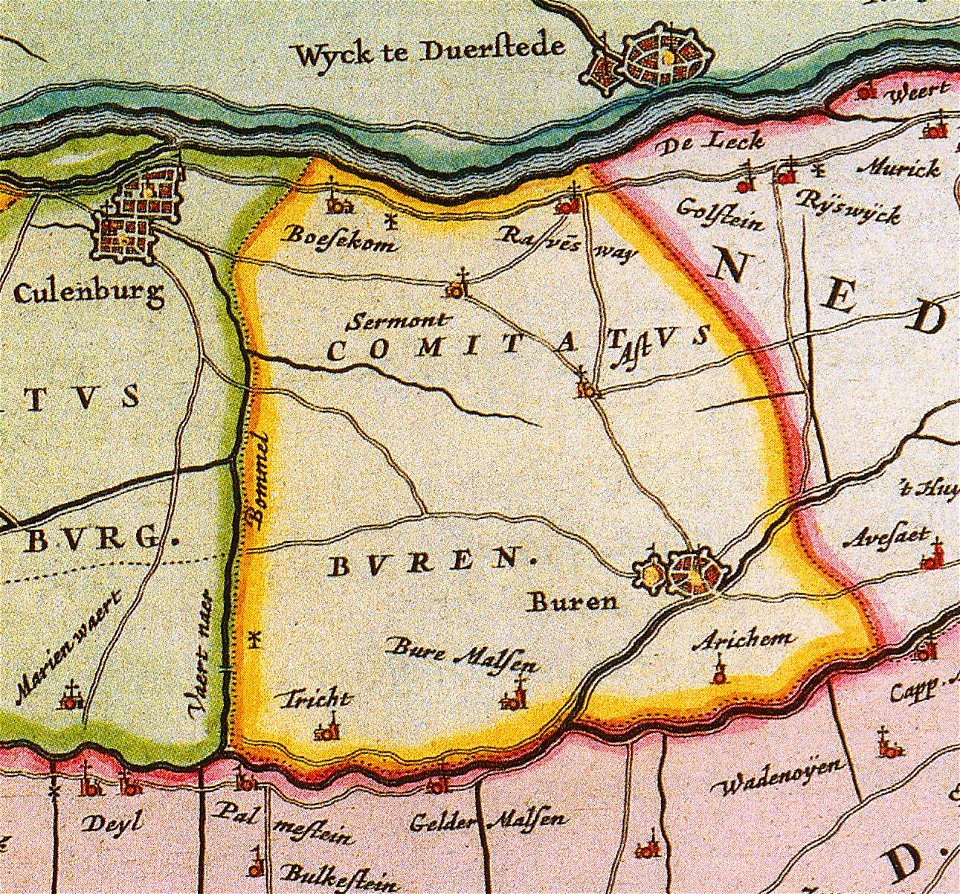
old maps of gelderland
gelderland
maps made in the 17th century
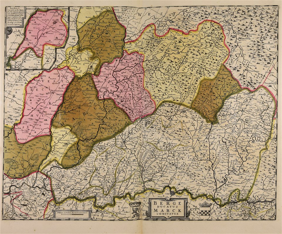
maps of the county of mark
maps made in the 17th century
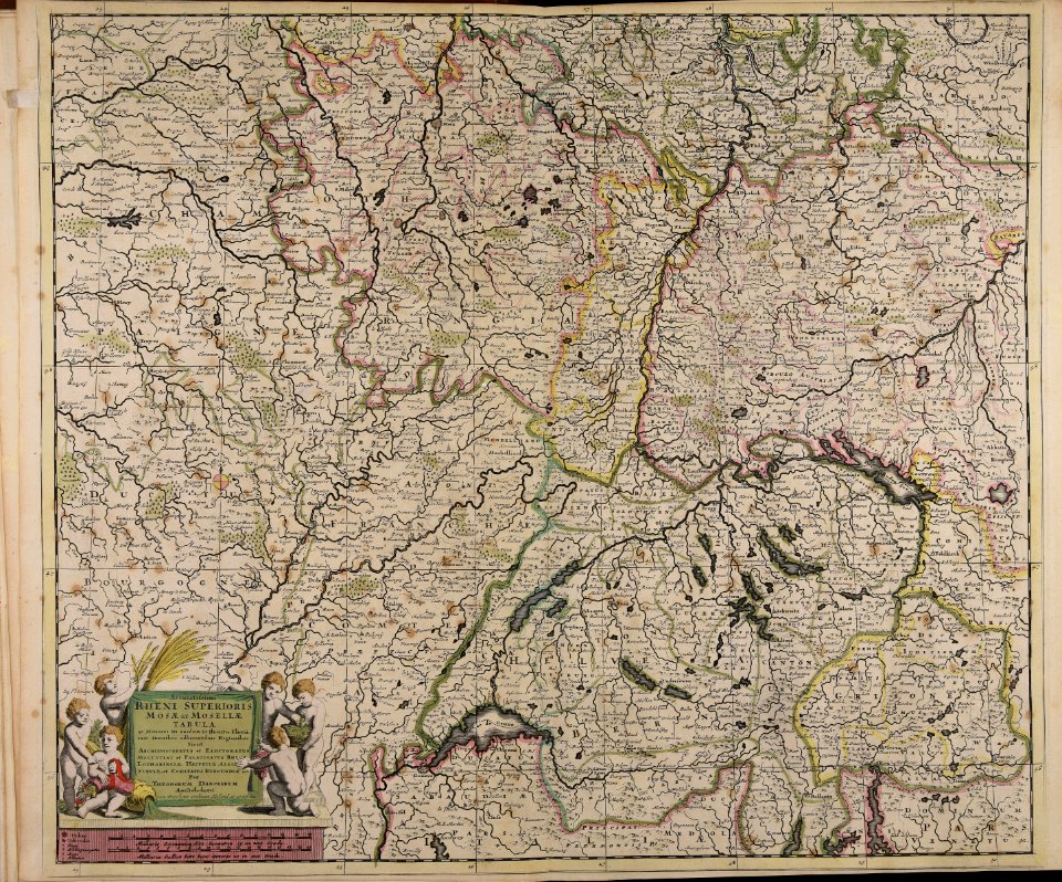
old maps of europe
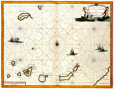
old maps of the canary islands
1667
illustrations from the sea serpent by george roux
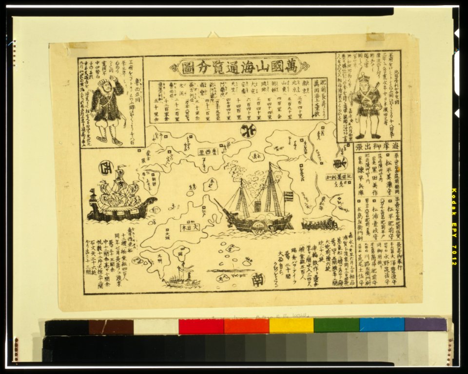
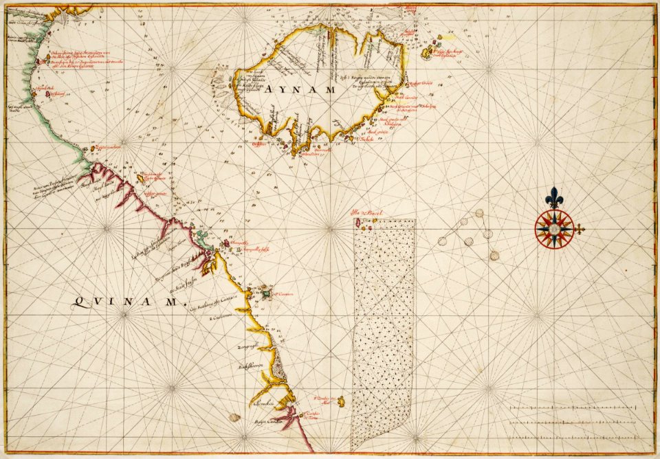
20th-century maps of japan
atlas van der hagen
copper engraving
maps with cartouches
atlas van der hagen
maps with cartouches
copper engraving
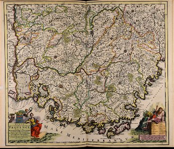
17th-century maps of france
maps with cartouches
maps with cartouches
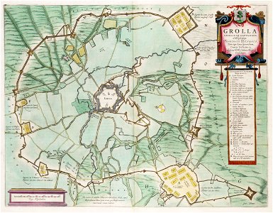
old maps of malta
maps with cartouches
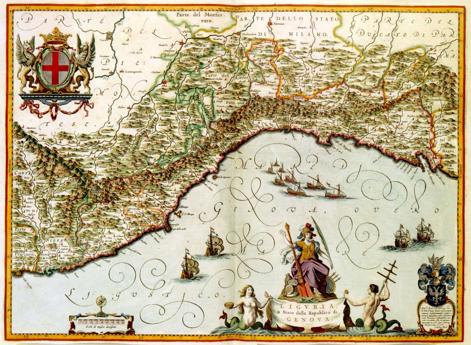
old maps of genoa
maps with cartouches
atlas van der hagen
maps with cartouches
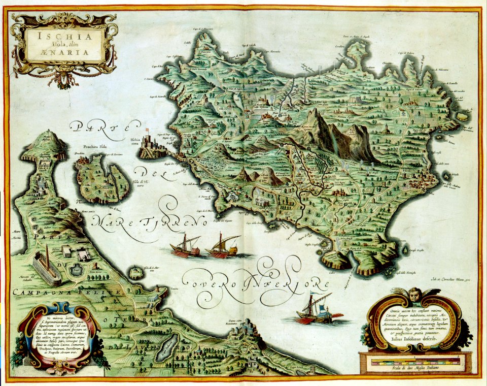
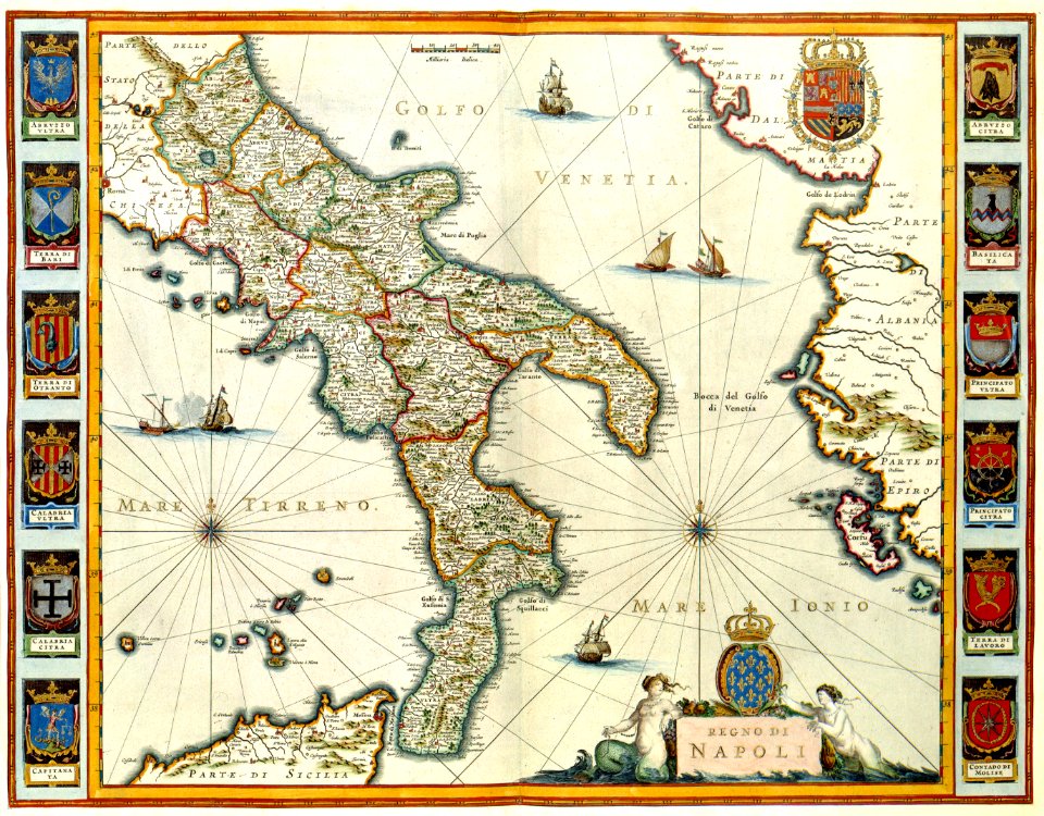
old maps of italy
atlantis magni tomus tertius (biblioteca comunale di trento)
maps made in the 18th century
ukiyo-e by unknown artists
nagasaki-e
wagner & debes
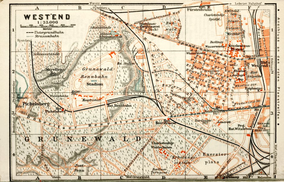
1914 in berlin
collections de la bibliothèque nationale et universitaire de strasbourg
matthias quad
ukiyo-e by unknown artists
nagasaki-e
maps of the dutch east india company - madagascar
1598
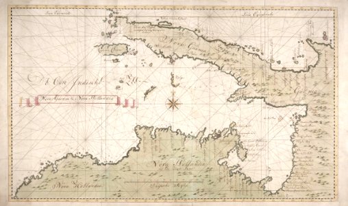
new holland (australia)
1720s
maps of the dutch east india company - sri lanka
1765
trịnh lords
1665
18th-century maps of indonesia
banda islands
batavia
1740
18th-century maps of indonesia
1744
maps made in the 18th century
gerard valck
atlantis magni tomus tertius (biblioteca comunale di trento)
maps made in the 18th century
maps made in the 18th century
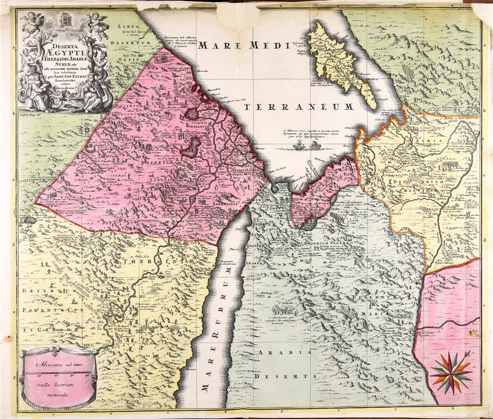
1720s maps of egypt
maps made in the 17th century
cornelis danckerts (i)
old maps of the tsardom of russia
history of valuyki
maps made in the 17th century
jan janssonius
voyage pittoresque de la grèce
i̇zmir in the 18th century
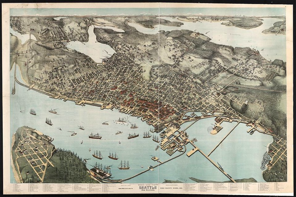
lithographs of cities in the united states
1891 in seattle
geographical atlas for the 5-6 grades of secondary school (1941)
old maps of italy
maps made in the 18th century
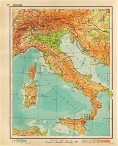
belgio
atlantis magni tomus primus (biblioteca comunale di trento)
maps made in the 17th century
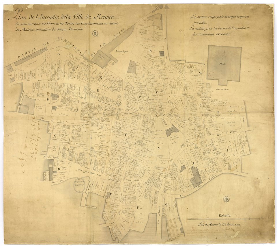
great rennes fire of 1720
old maps of rennes
maps made in the 18th century
gerard valck
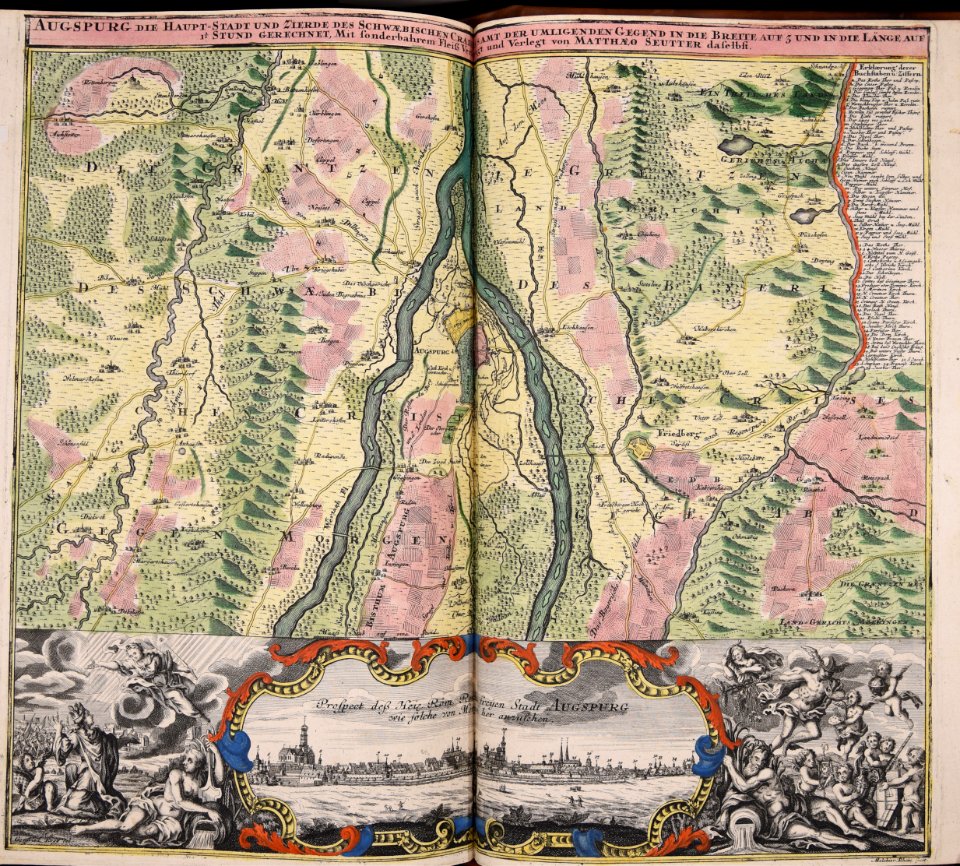
1822 in bavaria
ehrenbürg
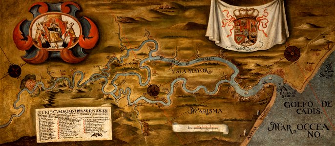
guadalquivir
1760 maps
maps of the eastern mediterranean
bodleian library
prints from manesson travaux de mars at the peace palace library
old maps of béthune
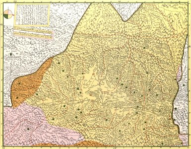
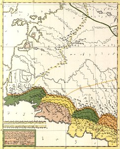
description of kingdom of georgia
its habits and canons
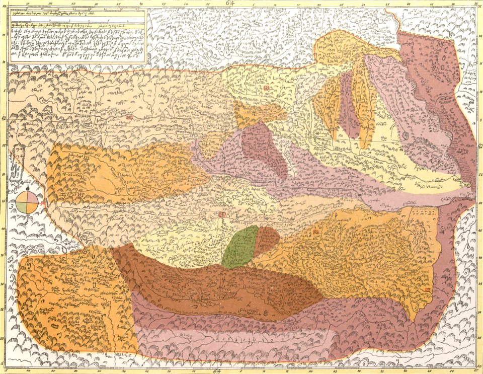
description of kingdom of georgia
its habits and canons
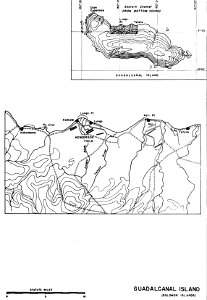
henderson field (guadalcanal)
solomon islands
description of kingdom of georgia
its habits and canons
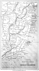
19th-century maps of brazil
maps by alexandre vuillemin
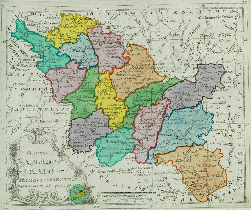
small atlas of the russian empire (1792)
kharkov viceroyalty
dutch 17th-century prints in the rijksmuseum amsterdam
netherlands
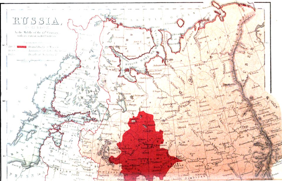
pictorial history of the russian war 1854-5-6 by george dodd
1856 maps of georgia
old maps of the russian empire
1856 maps
maps made in the 17th century
old maps of brandenburg
description of kingdom of georgia
its habits and canons
description of kingdom of georgia
its habits and canons
maps made in the 18th century
gerard valck
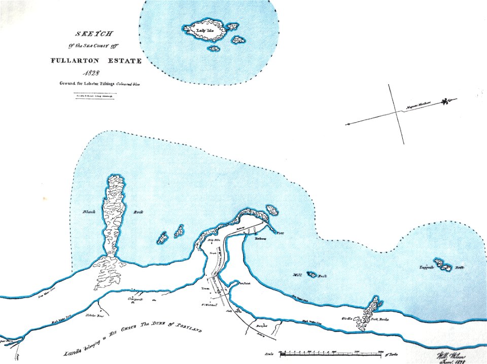
islands of scotland
maps of scotland
braun & hogenberg
copper engraving
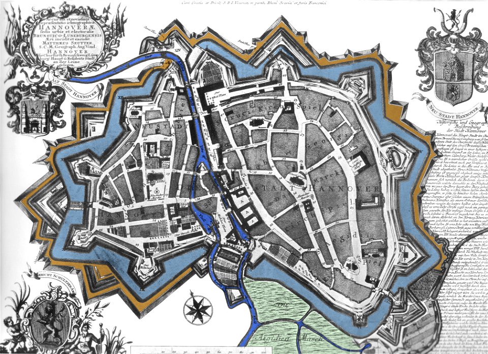
maps by matthäus seutter
city walls in hannover
maps made in the 17th century
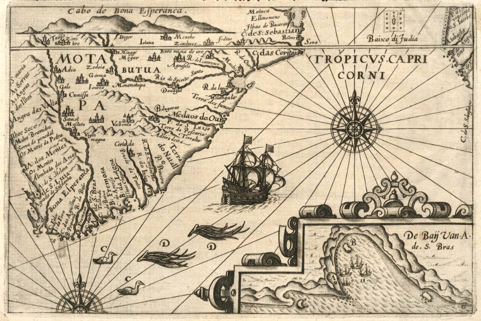
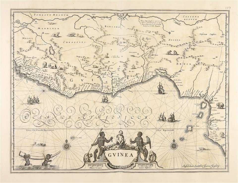
old maps of guinea
maps by nicolaes visscher i
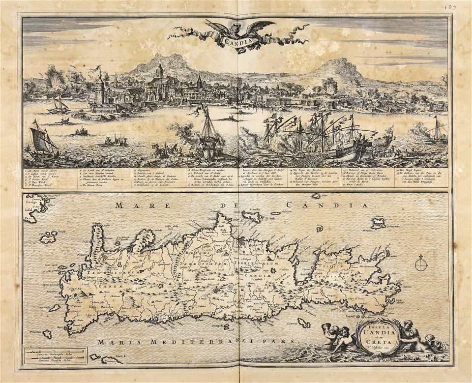
creta
maps made in the 17th century
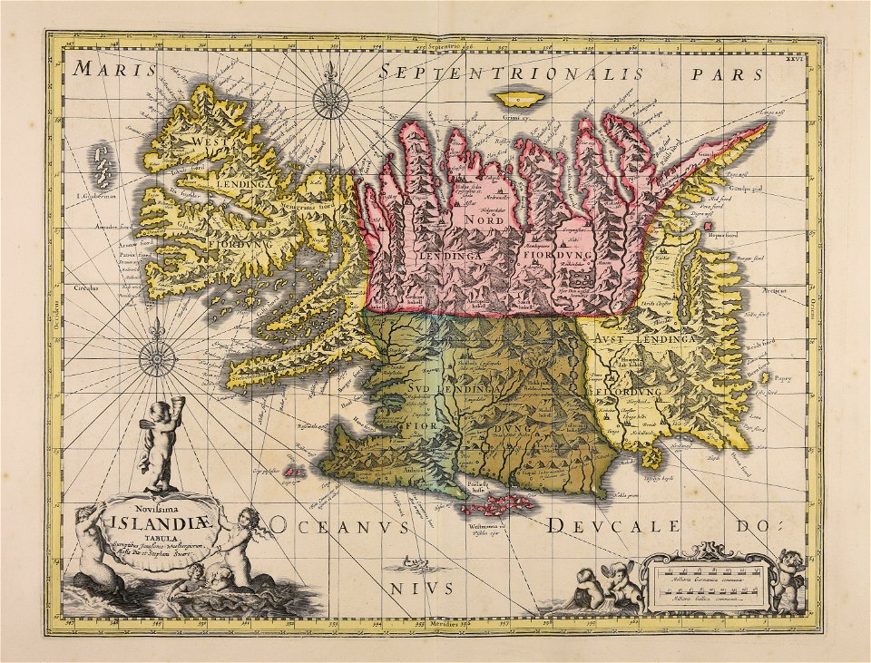
old maps of iceland
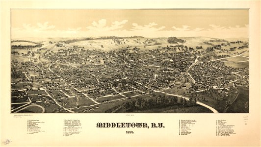
orange county
new york
7001 - 7100 of 38,664
Next page
/ 387